Sensor Simulation (SENSIM)
- English
- Türkçe
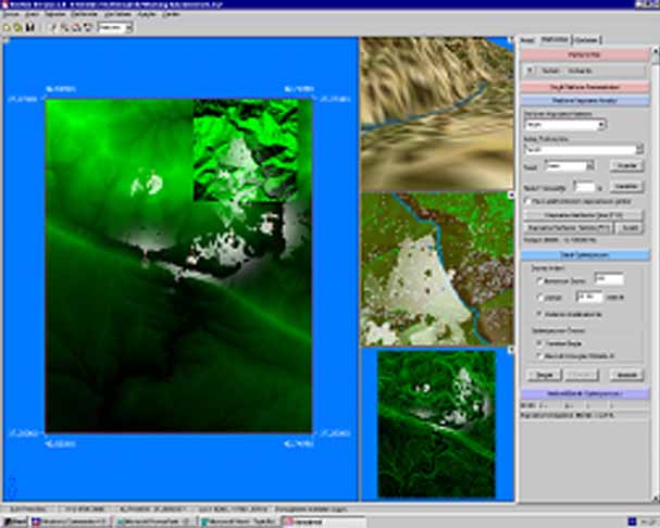
The plant cover of land, road, building etc. were modelled in the scope of Sensor Simulation Battle Area Perception System in detail. Also 2D and 3D visualizations were made. The aim of this simulation is to identify and determine efficiency of moving (land and air) and fixed sensor platforms and to decide types, numbers, locations and coverage areas of these sensors according to cost criteria.

SENSIM High Level View
Project Team and Studies:
- 2 Teaching Staff, 5 Research Assistants
- August 1999 – December 2000
- The modelling of Land plant cover, road, building etc. in detail, 2D and 3D visualization
- Importance and placement maps
- Identification and determination of efficiency of moving (land and air) and fixed sensor platforms and to decide types, numbers, locations and coverage areas of these sensors according to cost criteria
- Identification of cost-efficient locations of sensors by using genetic algorithm
